






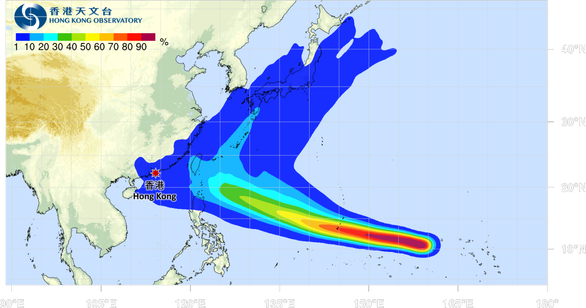
Typhoon Champi, the 30th typhoon of the year, formed on Thursday (Oct. 15) and is gradually strengthening, with its maximum intensity potentially reaching super typhoon status.
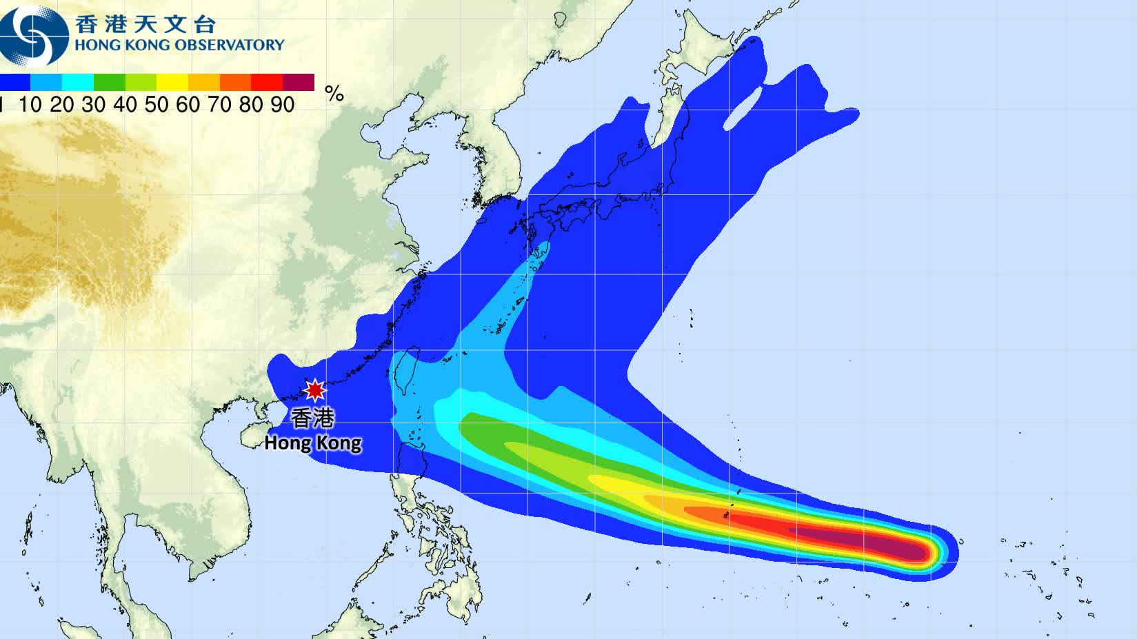
The Hong Kong Observatory forecasts that the tropical cyclone over the northwestern Pacific will gradually intensify over the next two to three days as it passes near Guam. It is expected to move towards waters east of Luzon in the early to middle part of next week.
The observatory stressed that the typhoon's subsequent track remains uncertain, although it is more likely to turn northward and pass over waters east of Taiwan.
Meanwhile, forecasts from the AI weather models Fengwu, Fuxi and Pangu suggest that Champi could make a sharp turn, or a "loop," near waters east of Taiwan before turning north at an angle of nearly 90 degrees and heading directly towards Japan.
Pangu's forecast further indicates that Champi could cross Japan from south to north between Oct. 25 and 26.
Weather analyst Xinxin previously wrote on social media that Champi has significant potential to intensify, with the storm expected to reach at least severe typhoon strength and potentially develop into a super typhoon.
Related News:





































Comment