






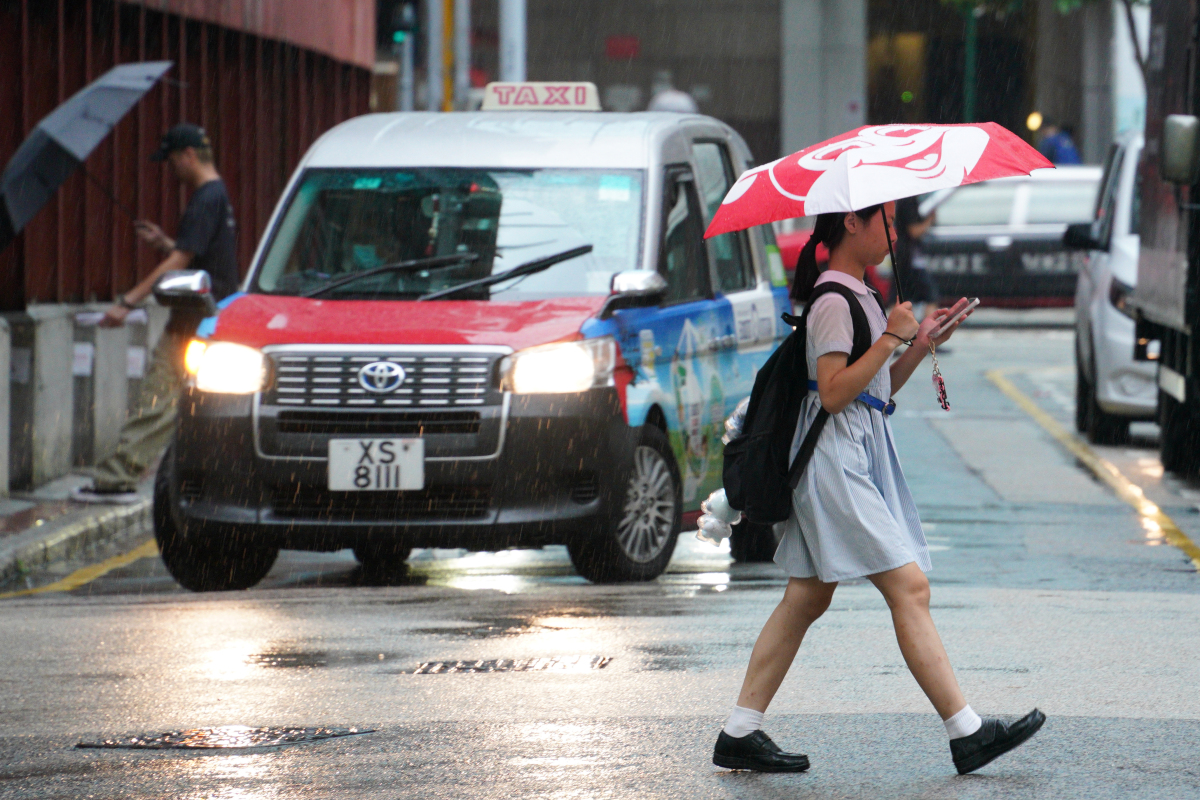
The Hong Kong Observatory issued a special weather alert on Sunday (July 19), warning that an area of intense thunderstorms located south of the Pearl River Estuary is moving gradually towards HK.
The observatory said parts of the city are expected to experience heavy rain, squally thunderstorms and strong gusts over the next two to three hours.
According to the latest forecast, a broad trough of low pressure will bring occasional showers and thunderstorms to Guangdong on July 19 and 20.
As the trough gradually weakens and an upper-air anticyclone extends over the coast of Guangdong, showers are expected to ease gradually during the middle and latter part of the week. Weather conditions across South China will improve, with temperatures becoming progressively hotter.
The observatory also said a low-pressure area may gradually develop east of the Philippines. However, there remains uncertainty over its subsequent track and intensity. It is considered more likely to enter the north-central South China Sea later this week and move generally towards the coast of western Guangdong.
Related News:
HK downgrades rainstorm warning to Amber, afternoon classes to resume
HKO warns of heavier downpours in parts of city over next two hours




Comment