


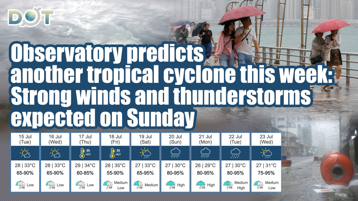
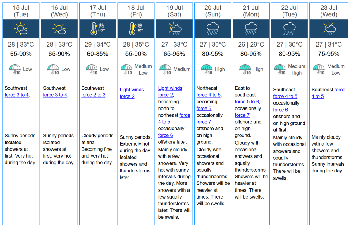
The Hong Kong Observatory stated today (July 14) that a broad low-pressure area is expected to develop into a tropical cyclone east of the Philippines gradually. It is projected to approach the Luzon area later this week, with a higher chance of moving into the northern South China Sea. However, its path and intensity remain uncertain. Due to the influence of its surrounding subsiding air currents, extreme heat is expected in Guangdong later this week, with urban areas predicted to reach a high of 35 degrees celsius on Friday. From the weekend into early next week, the northern South China Sea may experience sudden rain and strong thunderstorms, along with rough seas.
The Observatory forecasts that starting Saturday (July 19), the weather will begin to deteriorate, and on Sunday (July 20), conditions will be affected, with northeast winds of force 4 to 5, gradually increasing to force 6, and occasional gusts of force 7 in offshore and highland areas. There will be sudden rain and thunderstorms, with heavy rainfall at times. Improvements in the weather are not expected until next Wednesday (July 23).
Related News:
HKO: Scorching weather next week with temperatures hitting 33°C for four days
Red Rainstorm Warning issued as remnants of Danas bring heavy rain and strong winds to HK


Comment