






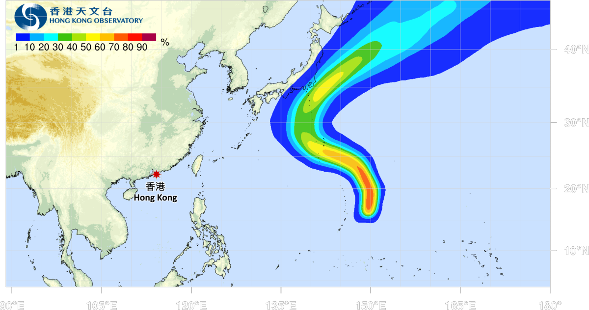
Typhoon Dujuan, the 25th typhoon of the year, formed over the northwestern Pacific on Wednesday (Sept. 16) evening and is forecast to strengthen as it moves towards waters south of Japan, according to the China Meteorological Administration (CMA).
As of 5 a.m. Thursday (Sept. 17), the centre of Dujuan was located over the sea about 530 kilometres northeast of Saipan. The typhoon had maximum sustained winds of 20 metres per second near its centre, equivalent to Force 8 winds, and a central minimum pressure of 995 hectopascals. Its seven-force wind radius ranged from 150 to 480 kilometres.
The CMA forecast that Dujuan would move northward before turning west-northwestward at a speed of around 40 kilometres per hour, with its intensity gradually increasing. From Sept. 19, the typhoon is expected to turn northward to northeastward and gradually approach waters south of Japan.
Dujuan is not expected to affect China's coastal waters in the coming days, the CMA said.
Hong Kong will remain generally sunny on Thursday, with dry and hot conditions during the day and a maximum temperature of around 32 degrees Celsius. Moderate easterly winds are expected, occasionally becoming fresh offshore.
The rest of the week is forecast to remain sunny and dry during the day. There will be sunny periods and a few showers at times early next week.
Related News:
HKO: Cloudy with showers and a maximum temperature around 31°C today




Comment