


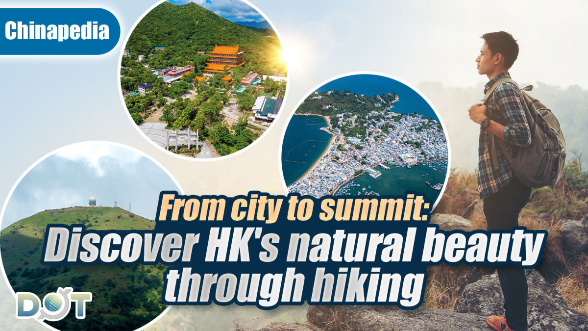
Beyond the iconic skyline and vibrant nightlife, Hong Kong unveils its natural splendor with a diverse range of outdoor experiences designed to invigorate and inspire. Recognized by the General Administration of Sport of China, these four curated routes offer a unique opportunity to explore the city's urban landscapes, tranquil islands, and challenging mountain trails.
Escape the ordinary and discover a different side of Hong Kong, where cityscapes meet serene seascapes, and mountain peaks offer breathtaking panoramic views. These routes provide an ideal "one-stop" experience, blending the energy of the city with the tranquility of its outlying islands and the challenge of its mountainous terrain.
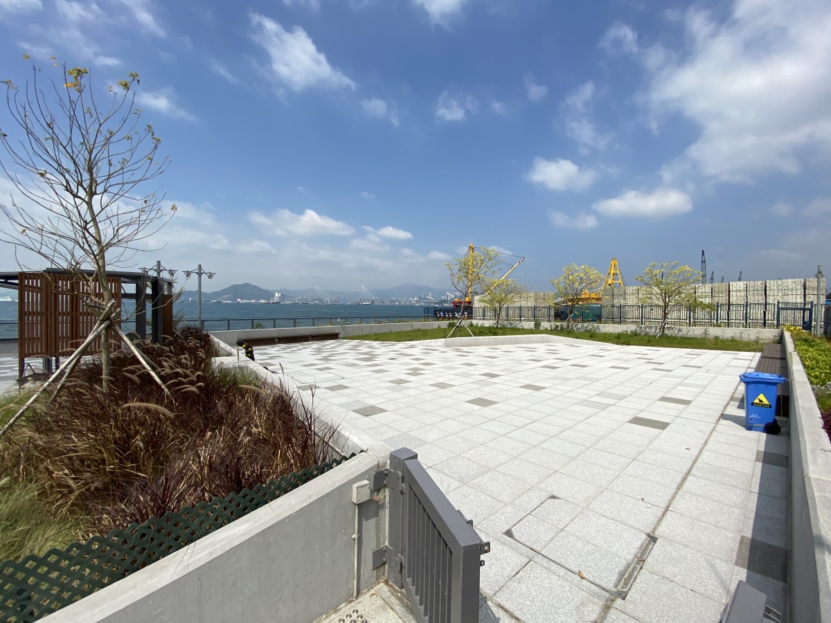
Kennedy Town's Belcher Bay Promenade
Starting at Kennedy Town's Belcher Bay Promenade, this coastal trail offers panoramic views of Victoria Harbour's skyline. Perfect for jogging or leisurely walks, the route connects key waterfront landmarks, ending at the East Coast Park Precinct (West Section).
- Route: Belcher Bay Promenade to the East Coast Park Precinct (Western Section)
- Distance: 11 kilometers
- Estimated Time: 1.5-2 hours
- Access: Kennedy Town MTR Station Exit C (6-minute walk to Belcher Bay Promenade)
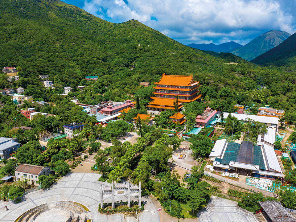
Lantau Trail Trek
Accessible via the Ngong Ping Cable Car or Bus 23 from Tung Chung Station, this trail traverses Lantau's lush hillsides, passing the Tian Tan Buddha and the Wisdom Path. The looped path offers panoramic views of the South China Sea and Hong Kong's spiritual landmarks, blending cultural immersion with serene landscapes.
- Access: From Tung Chung Station, take the Ngong Ping Cable Car or Bus No. 23 to Ngong Ping Village
- Route: Loop trail via Ngong Ping Village and Maitreya Country Trail
- Distance: 5 km
- Estimated Time: 2 hours
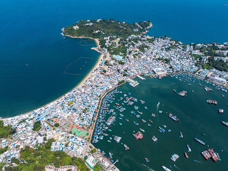
Cheung Chau Island Walk
A 35-minute ferry ride from Central Pier 5 leads to Cheung Chau, a traditional fishing village. Highlights include Pak Tai Temple, seafood markets, and the Sai Yuen Camping Site for glamping under starry skies. The route culminates at Tung Wan Beach, a serene coastal retreat.
- Access: From Central Ferry Pier No. 5 to Cheung Chau Ferry Pier (Regular ferry: 1 hour; High-speed ferry: 35 minutes)
- Route: Cheung Chau Ferry Pier to Sai Yuen Camping & Adventure Park
- Distance: 5.4 km
- Estimated Time: 1 hour 20 minutes
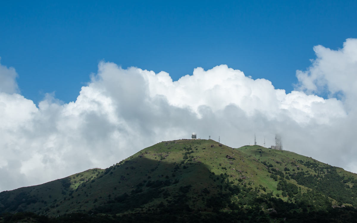
MacLehose Trail Section 8: Summit of Tai Mo Shan
Hong Kong's highest peak, Tai Mo Shan (957m), challenges hikers with mist-shrouded trails and sweeping views of the New Territories. Starting at Lead Mine Pass, the route ascends through grassy plateaus, offering vantage points over Kowloon Reservoir and the Pearl River Delta.
- Route: MacLehose Trail Section 8 (Lead Mine Pass to Route Twisk)
- Distance: 10 km
- Estimated Time: 4 hours
Important Reminders for Hikers:
- Visitors to outlying islands and outdoor areas should adhere to local guidelines and safety instructions. Stay on designated trails and avoid dangerous cliffs, rock climbing, or coastal areas.
- Protect the environment by properly disposing of all waste.
- Ferry schedules and transportation information should be checked in advance for island routes.
Related News:
Chinapedia | POP MART launches 'Twinkle Twinkle' Mid-Autumn mooncake
Chinapedia | National Day fireworks 2025: Best free viewing spots along Victoria Harbour


Comment