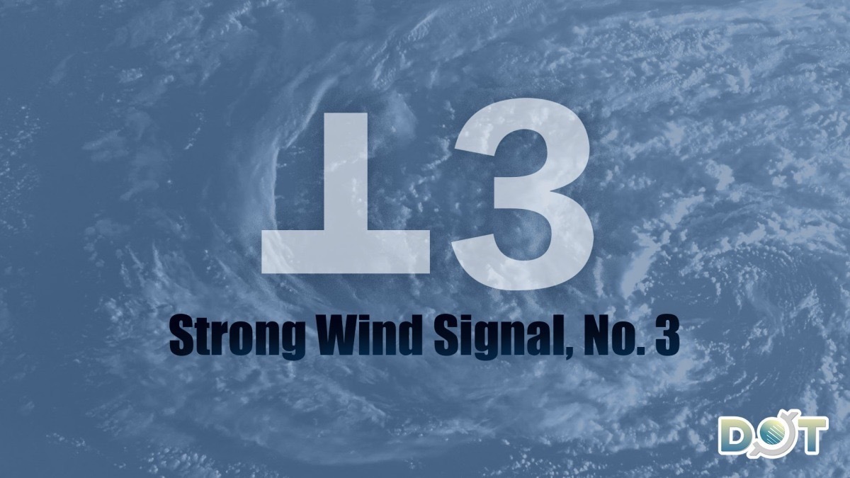
As Severe Tropical Storm "Matmo" moves closer, Hong Kong's wind conditions are expected to strengthen this afternoon. At 12:20 p.m. today (Oct. 4), the Hong Kong Observatory issued the Strong Wind Signal No. 3.
Matmo is forecasted to intensify gradually and move toward the Leizhou Peninsula. The Observatory will monitor Matmo's strength, the proximity of its gale-force wind zone to the Pearl River Estuary, and local wind conditions to determine if a higher tropical cyclone warning signal needs to be issued tonight.
The Observatory also warned that HK will experience increasing cloud cover later today, accompanied by heavy showers, thunderstorms, and strong gusts. Showers will become more frequent, and rough seas with swells are expected. Residents are advised to stay away from shorelines and suspend all water-related activities.
Related News:
Standby Signal No. 1 in effect, HKO to issue Signal No. 3 by early afternoon
Typhoon Matmo forms, approaching HK with intensifying strength


Comment