


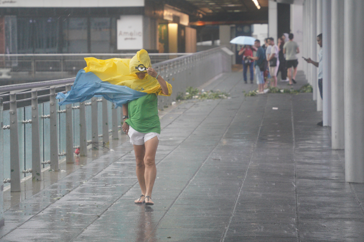
The Hong Kong Observatory announced today (Sept. 25) that Typhoon Ragasa is gradually moving away from Hong Kong and is expected to weaken further. Meanwhile, a high-pressure ridge is affecting the southeastern coast of China. Under the combined influence of Ragasa and the high-pressure ridge, strong winds continue to blow intermittently in offshore and elevated areas. The threat posed by Ragasa to Hong Kong has significantly decreased, and the Observatory will cancel all tropical cyclone warning signals at 11:20 a.m., followed by the issuance of a strong monsoon signal.
Today, Hong Kong is expected to experience occasional strong winds, heavy rain, and thunderstorms, with some areas initially receiving heavier rainfall. The sea will have high waves and surges, and citizens are advised to stay away from the shoreline and refrain from water activities.
Related News:
Watch This | Typhoon Ragasa: Jiangmen records highest wind speed ever at over 17-category
Watch This | Despite storm, Environmental Protection Department clears roads for residents


Comment