


The 18th typhoon of the year, Typhoon Ragasa, intensified into a typhoon-level system early on Sept. 20, according to meteorological authorities. The Hong Kong Observatory predicts that Ragasa will move toward the Luzon Strait in the next couple of days and strengthen significantly. By mid-next week, it is expected to reach the coastal areas of Guangdong as a super typhoon, with HK's weather conditions deteriorating starting next Tuesday and peaking on Wednesday when Ragasa is closest to the city.
Experts also warn that Typhoon Ragasa could reach peak winds of Force 16, potentially becoming the strongest typhoon of the year in the South China Sea and Northwest Pacific.
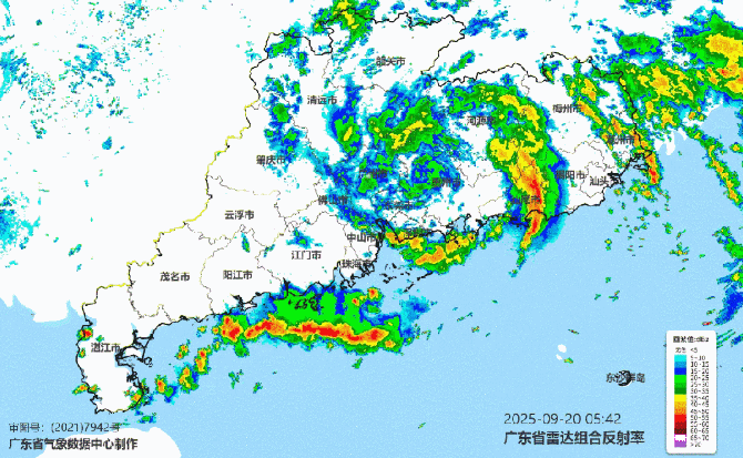
Meteorologist Xin Xin from China's weather channel noted that Typhoon Ragasa is significantly larger in size compared to Typhoon Mitag (No. 17). Its general trajectory will move west-northwest.
According to official forecasts from both China and Japan, the typhoon's center could be located near the southern waters of the Pearl River Estuary by the afternoon of Sept. 24. Discrepancies in numerical models have narrowed, with Chinese, European, and American forecasts all indicating that Ragasa may make landfall near the Pearl River Estuary on the evening of Sept. 24.
Between Sept. 23 and 24, the eastward movement of a trough will bring cold air southward, weakening and retreating the subtropical ridge to the east. This could add a northerly component to Ragasa's path, increasing the likelihood of landfall along the Guangdong coastline. After landfall, the typhoon is expected to weaken due to suppression by low-altitude cold air and a westward expansion of the subtropical ridge, which may push Ragasa westward along the coastline of western Guangdong.
Meteorologists are concerned about intense wind and rain impacts during Ragasa's approach on Sept. 23 and 24. The strong typhoon, combined with the incursion of low-altitude cold air during this period, could result in severe weather conditions. Additionally, Ragasa's outer rainbands could trigger squall lines, raising the possibility of localized tornadoes.
Related News:
HKO: Typhoon Ragasa could bring storm surges similar to Hato and Mangkhut
Tropical cyclone Ragasa approaches HK, several airlines announce fee waivers


Comment