


According to the Hong Kong Observatory, tropical storm Wipha is expected to enter within 800 kilometers of HK between tonight and early tomorrow (July 19). At that time, the Observatory will issue the Standby Signal No. 1.
Wipha is forecast to intensify gradually and move closer to areas near the Pearl River Estuary and the western Guangdong coast. Under the influence of Wipha's outer subsiding air currents, HK will still experience very hot weather early tomorrow, but winds will gradually strengthen later in the day.
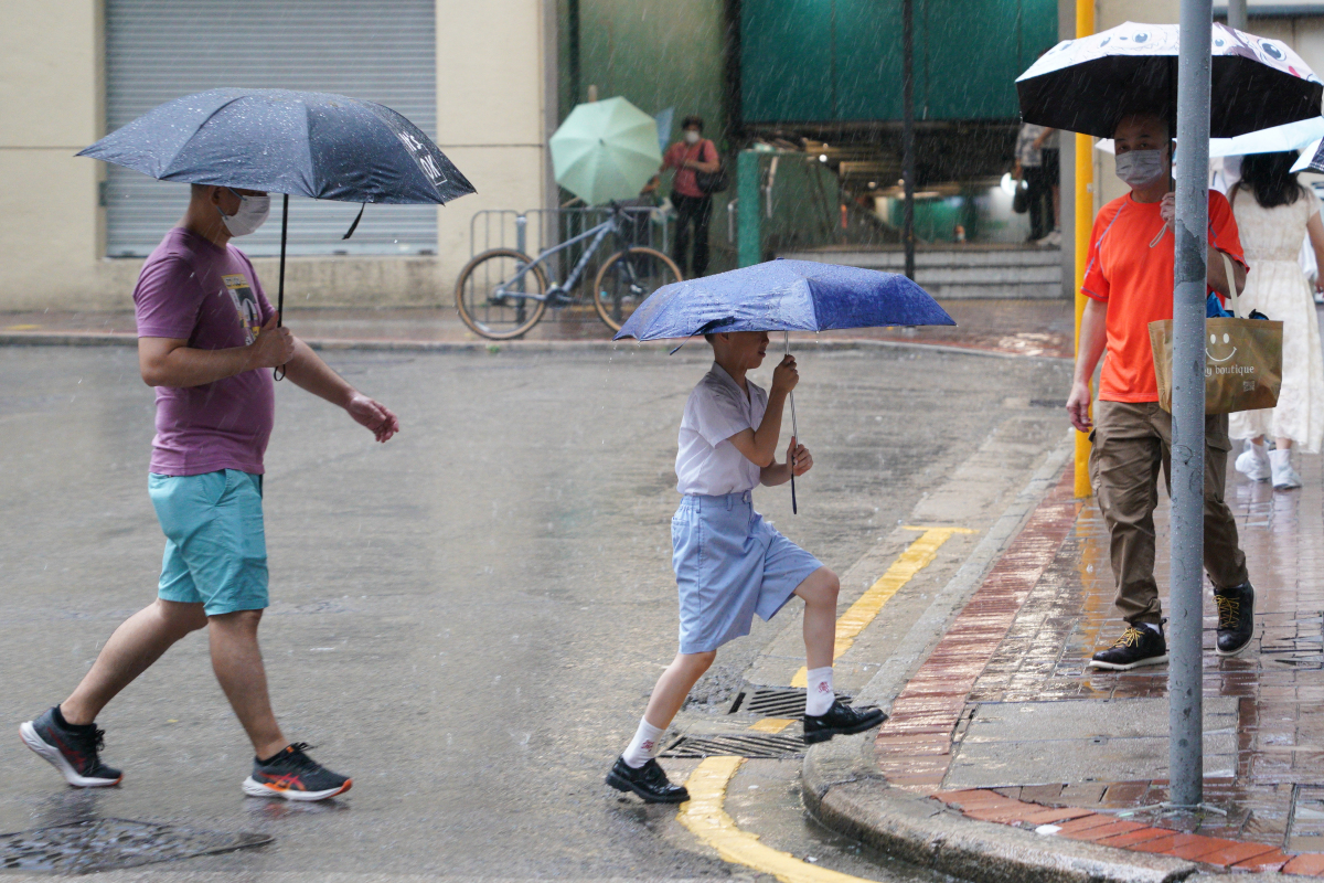
On Sunday (July 20), severe weather is expected, including strong winds, heavy rain, thunderstorms, and rough to very rough seas with swells. The public is advised to stay away from the shore and suspend all water activities.
The Observatory may issue the Strong Wind Signal No. 3 during the day tomorrow, depending on the storm's development.
Wipha is expected to be closest to the Pearl River Estuary on Sunday. The Observatory will assess whether to issue higher tropical cyclone warning signals based on Wipha's distance from the estuary, its intensity, and changes in local wind conditions.
Citizens are advised to stay tuned to the latest weather updates from the Observatory.
Related News:
Heatwave claims 1,180 lives in Spain; HKO warns of prolonged high temperatures
Tropical cyclone approaching HK tomorrow night: May become typhoon on Sunday


Comment