


Recently, Google Maps announced the top ten popular hiking trails in Hong Kong, providing a new guide for tourism in the city.
Earlier, during the Two Sessions, the National Health Commission of the People's Republic of China stated that it will continue to promote annual weight management initiatives. Several medical experts also emphasized the importance of weight management and called on the public to pay attention to a healthy lifestyle. "Healthy eating" and "weight control" have become trending topics online.
Hiking, as an aerobic exercise, can be beneficial to personal health to some extent. Below is a compiled guide to the top ten popular hiking trails for everyone to challenge the "Hong Kong version of weight loss."
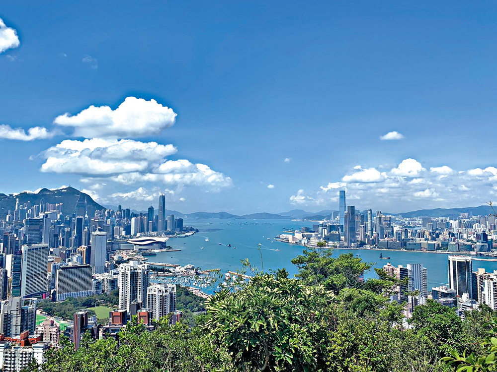
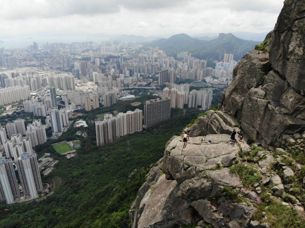
Dragon's Back

Dragon's Back gets its name from its ridges that rise and fall like a flying dragon soaring through the clouds. Due to its proximity to the urban area and abundant natural scenery, Dragon's Back was chosen by Time magazine's Asian edition as the best urban hiking trail in Asia. It is located on Section 8 of the Hong Kong Trail and is one of the most popular routes among hikers and trail runners.
Pineapple Dam
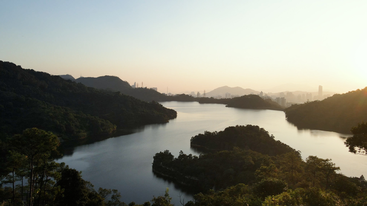
Pineapple Dam is an interesting name. In the past, the Zhang Hakka clan lived here, and before the construction of the Shing Mun Reservoir, some villages relied on pineapple farming for their livelihood, which is how the area got its name. Most of this trail is quite flat, and the beautiful scenery along the way makes it suitable for families to enjoy.
Maple forest

Located within the Tai Lam Country Park, the maple forest is one of the most popular photo spots in Hong Kong during the autumn and winter seasons. The maple leaves on both sides of the trail gradually change to vibrant shades of yellow and orange, making it an excellent location for photography. Visitors who wish to know the leaf color index can check the official website for maple leaf information in Tai Lam Country Park in advance.
Red Incense Burner Peak
Red Incense Burner Summit is a name modified by hikers. It is said that the name "Red Incense Burner" originated from a red stone in the shape of an incense burner which was found in Causeway Bay by the ancient people, who believed that it was given by Tin Hau and set up a temple for worship since then. The temple was later expanded to become the Red Fragrance Burner Tin Hau Temple, which is now the Tin Hau Temple in Causeway Bay, and the hill at the back of the temple is called Red Incense Burner Summit.
Tsing Yi Nature Trail
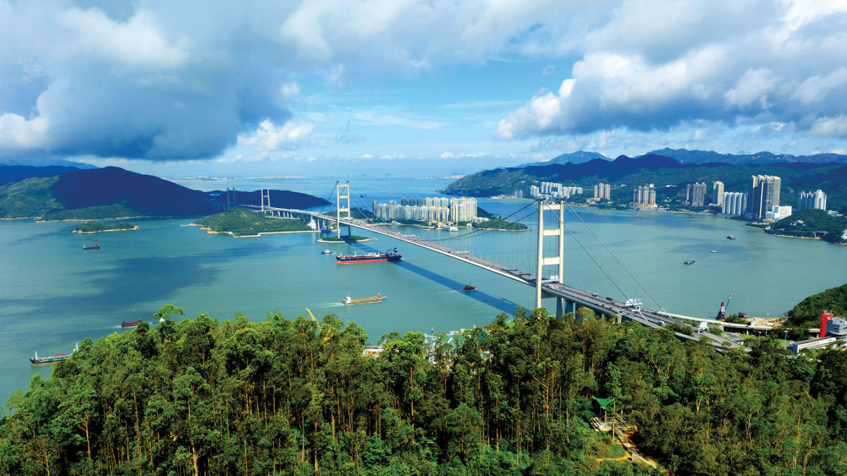
The Tsing Yi Nature Trail, also known as the Kwai Tsing Reunification Health Trail, is an easy and accessible hiking path with clear signage. It offers ample shade along the route, and at the summit, hikers can enjoy views of the Tsing Ma Bridge and the surrounding scenery. The trail includes four memorial pavilions for visitors to rest and take in the views.
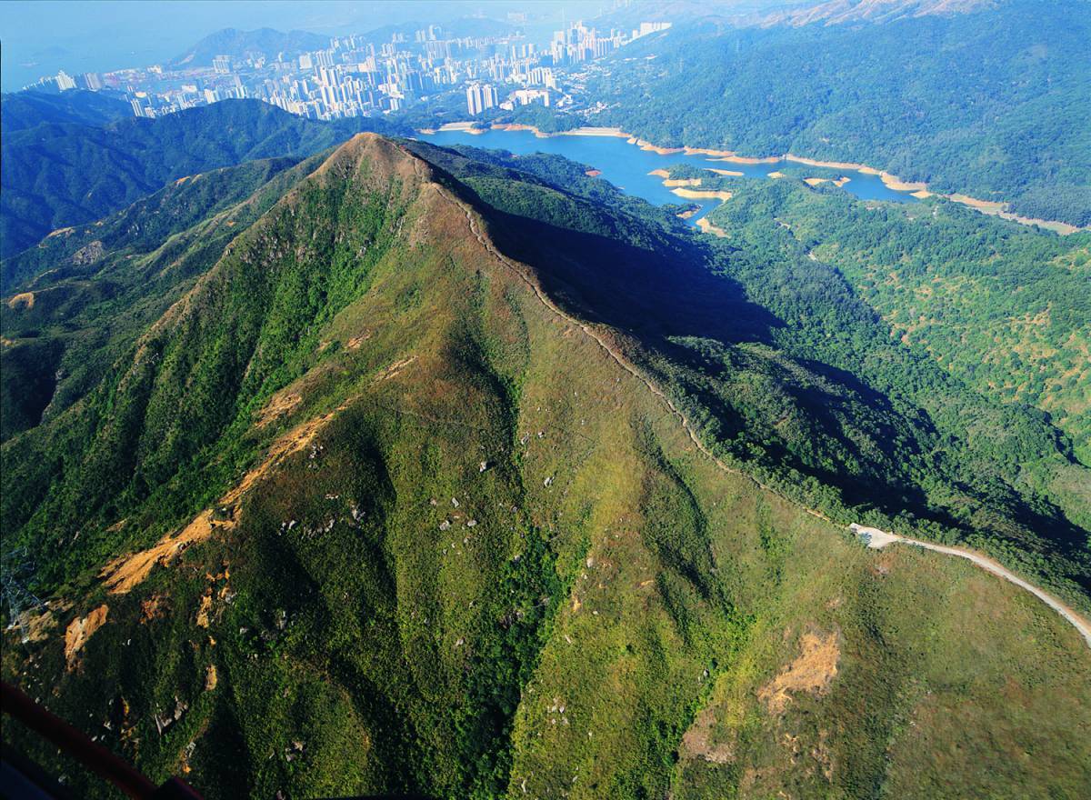
Wilson Trail
The Wilson Trail is the second longest hiking trail in Hong Kong, named in honor of Sir David Clive Wilson, the 27th Governor of Hong Kong, who had a deep affection for the natural beauty and hiking activities of Hong Kong. The trail spans approximately 78 kilometers and is divided into 10 sections, winding from the southern part of Hong Kong Island in Stanley to the northeastern part of the New Territories in Nam Chung, passing through eight country parks along the way.
Suicide Cliff
The Suicide Cliff is located at the top of the ridge on the southwest subpeak of Fei Ngo Shan in Hong Kong, with an elevation of about 600 meters. The trail is steep and presents a certain level of challenge. Its name is said to have originated from a British soldier who found the slope daunting, leading to the English name "Suicide Wall," which was later translated into Chinese as the Suicide Cliff.
Needle Hill
Needle Hill is known due to its pointed shape. From the summit, you can enjoy views of the Shing Mun Reservoir and see distant peaks like Tai Mo Shan, Grassy Hill and Lion Rock. Most of the trail is relatively open with little shade, so visitors should take care to apply sunscreen.
Sunset Peak
Sunset Peak or Tai Tung Mountain is located on Lantau Island, the third-highest mountain in Hong Kong. The slopes along the trail are covered with lush miscanthus grass, making it a popular spot for photography. Once at the summit, visitors can enjoy stunning views of Lantau Peak and the white sandy beaches of the southern coastline.
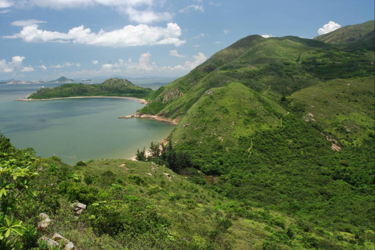
Tung O Ancient Trai
The Tung O Ancient Trai was once a pathway connecting Tung Chung and Tai O. This hiking trail passes through several historic villages and bays, such as Sha Lo Wan and San Shek Wan, allowing visitors to appreciate the rich cultural and natural scenery. Tai O is also an excellent location for watching the sunset, so visitors can plan their time accordingly to enjoy the view.
Related News:
Octopus introduces 'iAM Smart' certification, offers wide variety of cross-boundary payment


Comment