


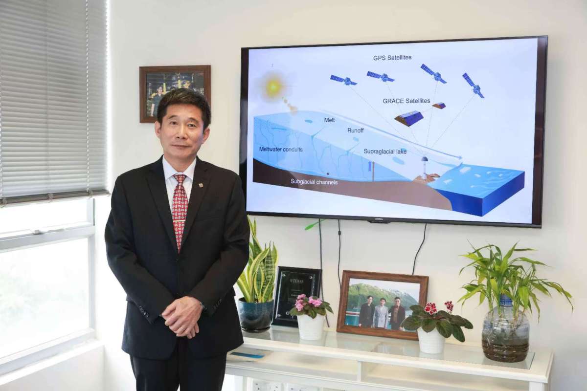
The melting of the Greenland ice sheet is a significant contributor to rising global sea levels. Researchers from Hong Kong Polytechnic University (PolyU) and an international team employed modern geospatial techniques, including satellite positioning data, to analyze vertical displacements of the ice sheet's bedrock. Their findings, published in Nature, quantified summer meltwater storage and its impact on sea level rise.
The Greenland ice sheet, the second largest after Antarctica, could raise sea levels by approximately seven meters if fully melted. Many questions remain about glacial water dynamics. Professor Jianli Chen and his team studied hydrological processes to better understand melting mechanisms.
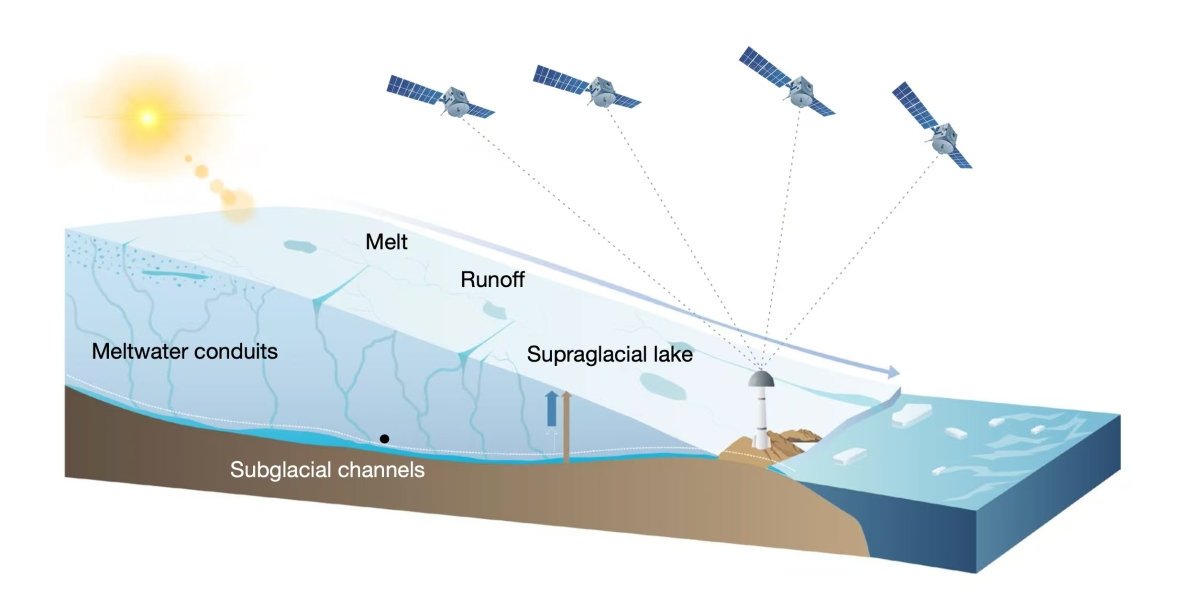
Using a network of Global Navigation Satellite System (GNSS) stations and satellite gravity data from NASA's GRACE, the team found that most summer meltwater is temporarily stored in the ice sheet, peaking in July. This caused an average subsidence of 5 millimeters in nearby bedrock, with extreme events leading to subsidence of up to 14 millimeters.
The average meltwater storage time at GNSS stations is about eight weeks, varying by region. Accurate predictions of meltwater storage during hotter summers are crucial for assessing sea level rise. The study also suggested adjusting flow predictions by about 20% during warmer years for more accurate assessments.
Related News:
DeepSeek achieves 20 mn daily active users, establishes two companies in HK
OpenAI unveils free ChatGPT search: No registration required


Comment