






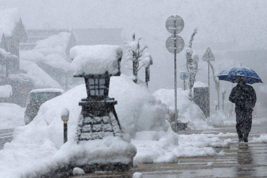
Japan's meteorological authorities have warned that a record-strength El Nino could bring a warmer-than-average winter to much of the country in 2026-27, while areas along the Sea of Japan coast could still face heavy snowfall.
The Japan Meteorological Agency (JMA) said the El Nino phenomenon reached a record intensity in October and is expected to peak in January 2027, significantly increasing the likelihood of a warmer winter. However, heavy snowfall remains possible along the Sea of Japan coast.
Japanese media outlet Livedoor News and the Meteorological Society of Japan reported on Tuesday (Nov. 10), citing the JMA, that there is a 100 percent probability that the El Nino phenomenon will peak in early winter and persist through the Northern Hemisphere spring of 2027.
The JMA defines El Nino as a phenomenon in which sea surface temperatures off the coast of Peru remain at least 0.5°C above the climatological average for six consecutive months.
According to the agency, the current El Nino is at its strongest level on record. The intensity reached a historic high in September and climbed further in October, with sea surface temperatures 4.4°C above the climatological average, setting another record.
Director of the JMA's center for abnormal weather information under its climate information division, said the phenomenon is expected to peak in January 2027 and continue through the spring of that year.
In northern Japan, winter temperatures are expected to remain around the seasonal average, while eastern and western Japan, as well as Okinawa and the Amami Islands, could experience above-average temperatures.
The director noted that despite the prospect of higher temperatures this winter, areas along the Sea of Japan coast could still be affected by cold air, potentially bringing heavy snowfall.
Related News:
Watch This | Earthquake in Shizuoka Prefecture Japan injures over 20 as shop windows shatter




Comment