






The Hong Kong Observatory said that a low-pressure area over a broad trough in the northern part of the South China Sea will gradually develop and approach the coast of Guangdong. As the associated convective cloud clusters are currently concentrated on its southern side, it is expected to take some time for the system to consolidate, and whether it will develop into a tropical depression can only be determined when it gets closer to the Guangdong coast. If the low-pressure area develops into a tropical depression, the Observatory will assess whether to issue the Standby Signal No. 1 from this evening (July 13) to tomorrow morning (July 14).
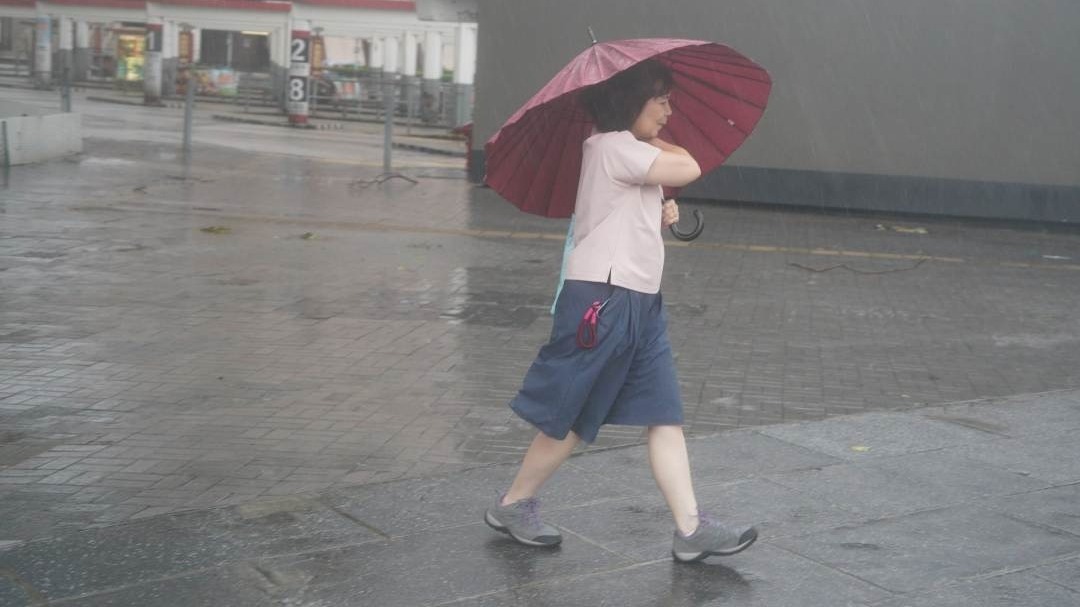
According to the current forecast, the low-pressure system will be closest to Hong Kong tomorrow morning, passing within 100 kilometres of the territory. Heavy showers, thunderstorms, and squalls are expected tomorrow, and there may be a need to issue rainstorm warnings or local heavy rain alerts. Fresh to strong winds are expected offshore, with a chance of flooding in some low-lying areas. On Wednesday (July 15), the rain is expected to remain heavy at times, and offshore winds may still be strong. The Observatory said it would closely monitor the development and movement of the low-pressure system, and advised the public to stay tuned to the latest weather updates.
Related News:
Super Typhoon 'Bavi' nears Taiwan, rough seas hit Taitung as authorities issue sea warning



Comment