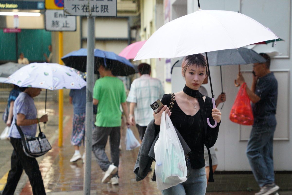
The Hong Kong Observatory (HKO) announced today (Oct. 18) that tropical cyclone "Fengshen", currently located near the Philippines, is expected to enter HK's 800-kilometer monitoring range tomorrow (Oct. 19). Meanwhile, atmospheric pressure over central China is rising, with a strong northeast monsoon forecast to reach Guangdong tomorrow, gradually strengthening winds across HK.
As Fengshen moves closer to the Guangdong coast by late Monday (Oct. 20), the Observatory may directly issue the Strong Wind Signal No. 3, bypassing the Standby Signal No. 1 typically issued first.
Current predictions suggest that Fengshen will be closest to HK on Tuesday (Oct. 21). The decision to issue a higher tropical cyclone warning, such as Signal No. 8, will depend on three factors: the intensity of Fengshen, the proximity of its gale-force wind zone to HK, and local wind strength.
Under the combined effects of Fengshen and the northeast monsoon, HK will experience persistently strong winds, increasingly cloudy skies, and rainy weather from early to mid-next week. Urban temperatures are expected to drop significantly to around 20°C by midweek, with temperatures in the New Territories falling two to three degrees lower.
Rough seas and swells are also expected. During consecutive evenings of high tides, low-lying coastal areas may experience flooding. Residents are advised to stay updated with the latest weather information from the Observatory.
Related News:
HKO: Strong winds may trigger Signal No. 3 next week, temperatures to plunge to 20°C midweek


Comment