


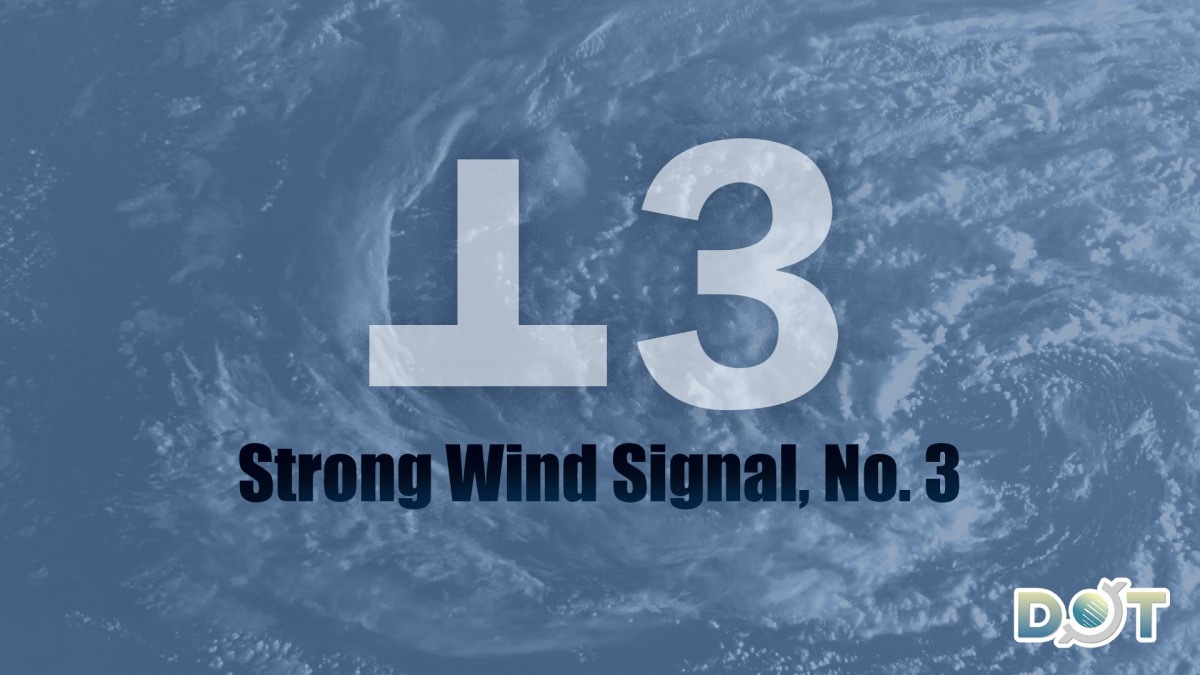
The Hong Kong Observatory announced at 12:20 p.m. today (June 14) that the Strong Wind Signal No. 3 will remain in effect until at least noon tomorrow. Unless Severe Tropical Storm "Wutip" maintains its intensity over land and takes a closer path to the Pearl River Estuary, the likelihood of upgrading to Signal No. 8 is considered very low.
According to the Observatory, "Wutip" is expected to pass approximately 300 kilometers northwest of HK tomorrow morning. The storm's associated strong wind zone will affect areas near the Pearl River Estuary from the remainder of today through tomorrow morning, bringing squally showers to HK. Winds in offshore and highland areas may occasionally reach gale force.
Related News:
Typhoon 'Wutip': HKO to issue Strong Wind Signal No. 3 at 12:20 pm today
Intense heat hits HK today as tropical cyclone signal likely tomorrow


Comment