


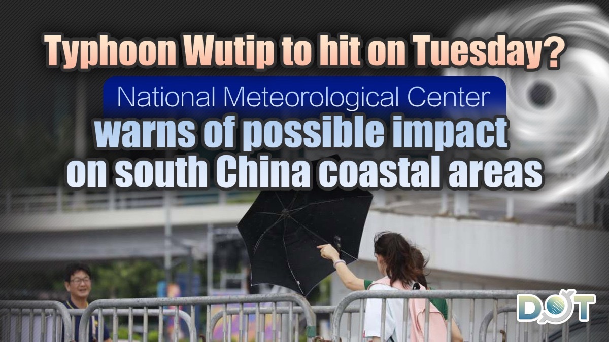
The Hong Kong Observatory issued a special weather warning today (June 9), stating that a vast low-pressure area located in the central South China Sea is expected to gradually develop into a tropical cyclone over the next two days (June 9 to 10). Depending on its development speed and the time it enters the 800-kilometer range of Hong Kong, the Observatory may issue a Signal No. 1 as early as Tuesday night (June 10) to Wednesday morning (June 11).
The Observatory anticipates that the tropical cyclone will generally move towards the western coast of Guangdong to Hainan Island by the middle to late part of this week. Depending on its distance from Hong Kong and development speed, the Observatory will assess whether a higher tropical cyclone warning signal needs to be issued from late Wednesday to Thursday (June 12). Hong Kong will continue to experience intense heat over the next one to two days, but as the tropical cyclone approaches, strong winds are expected later this week, accompanied by occasional heavy rain and rough seas.
Yesterday (June 8), the Observatory also released a weather memorandum, forecasting that if the tropical cyclone forms, it will be named "Wutip (Butterfly)." It also mentioned that current computer models generally predict a strong upper-level anticyclone, with the low-pressure system expected to move towards the western coast of Guangdong to Hainan by the end of this week. The Observatory explained that typically, the chances of adverse weather conditions in Hong Kong are higher when tropical cyclones approach from the west compared to the east. Citizens are advised to pay attention to the Observatory's latest weather forecasts when planning outdoor activities.
Related News:


Comment