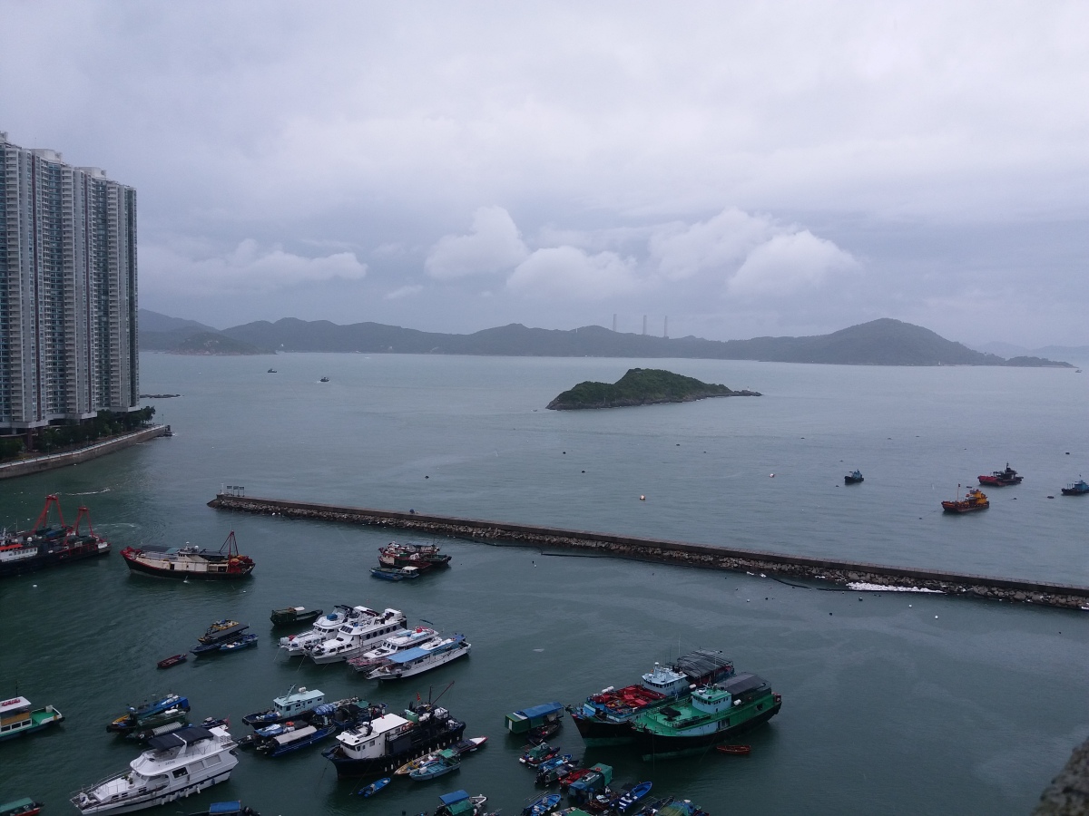
According to the latest forecast of the Hong Kong Observatory, Tropical Cyclone Toraji, which is located to the east of Luzon, will enter the 800-kilometer radius of Hong Kong from later today (Nov. 11) to early Tuesday (Nov. 12), and there is a chance that the Observatory may issue the No. 1 alert signal as early as tonight.
The Observatory also pointed out that it was not uncommon for tropical cyclone warnings to be issued in November, and that the need to change to a higher tropical cyclone warning signal will depend on the distance between Toraji and the Pearl River Delta, the intensity of the tropical cyclone, and changes in the local wind strength.
The Observatory expects Toraji to move across the north-central part of the South China Sea towards the western coast of Guangdong, but its path and intensity are subject to change. Under the combined influence of the Northeast Monsoon and Tao Chi, the weather in Hong Kong will be unstable on Wednesday (Nov. 13) and Thursday (Nov. 14), with a few gusty showers, strong winds and swells in the sea.
Tachyon may be closer to the Pearl River Delta by that time, but it may weaken at the same time. In addition, another potential tropical cyclone, not yet named, will gradually develop in the next couple of days in the northwestern Pacific to the east of Toraji.
Related News:
Standby Signal No. 1 in effect
Kindergartens, special schools close as Tropical Cyclone Warning Signal No. 3 now in force


Comment