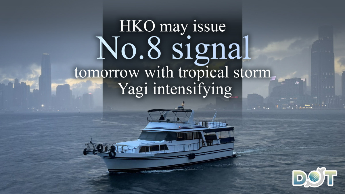
Tropical Cyclone Yagi is approaching Hong Kong. The Observatory is considering changing the strong wind No. 3 signal between 6 pm and 9 pm this evening (Sept. 4).
As Yagi approaches the coast of western South China, winds in the Pearl River Estuary area may intensify further tomorrow. The Observatory said it will assess the need to issue a higher tropical cyclone warning signal in the afternoon and evening of tomorrow, depending on changes in the direction and intensity of Yagi.
At 10 a.m., Typhoon Yagi had gathered about 510 kilometers southeast of Hong Kong and was expected to move westward with a speed of about 10 kilometers per hour across the northern part of the South China Sea and gradually intensify.
Speaking on a radio program this morning, a senior scientific officer of the Observatory said that Yagi is expected to come closest to Hong Kong tomorrow evening, when it is expected to be about 300 kilometers south of Hong Kong. The Observatory will evaluate whether it is necessary to issue a higher tropical cyclone warning signal in the afternoon and evening of tomorrow.
The winds will gradually build up later today and will continue to intensify tomorrow, with possible strong winds and heavy showers, so the public is reminded to pay attention to the weather conditions, the senior scientific officer said.
Related News:
15-meter tall tree collapsed on slope opposite No. 25 Sha Wan Drive in Pok Fu Lam
HKO to consider issuing Strong Wind Signal No.3 between 6 p.m. and 9 p.m. tonight


Comment