


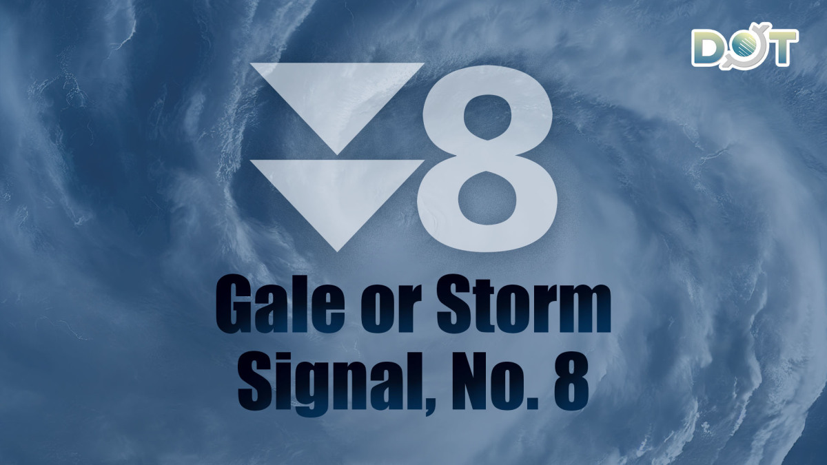
Super Typhoon Ragasa has unleashed fierce winds and torrential rain across Hong Kong, causing significant disruptions. As Ragasa moves towards the western coast of Guangdong, the associated hurricane wind zone is gradually shifting away from HK. The HK Observatory downgraded the Hurricane Signal No. 10 to the Gale or Storm Signal No. 8 at 1:20 p.m. today (Sept. 24).
The Observatory warned that adverse weather conditions will persist, with frequent heavy squalls, thunderstorms, and extreme waves. At sea, massive waves and swells have been observed, with overtopping waves posing particular risks along the eastern and southern coasts. Residents are strongly advised to remain vigilant, avoid coastal areas, and suspend all water activities.
Ragasa has caused significant storm surges, with water levels along HK's coast rising to 3.4 meters or above relative to the HK Chart Datum earlier this morning. Water levels along the western coast are expected to rise further, reaching their peak in the next one to two hours.
Related News:


Comment