


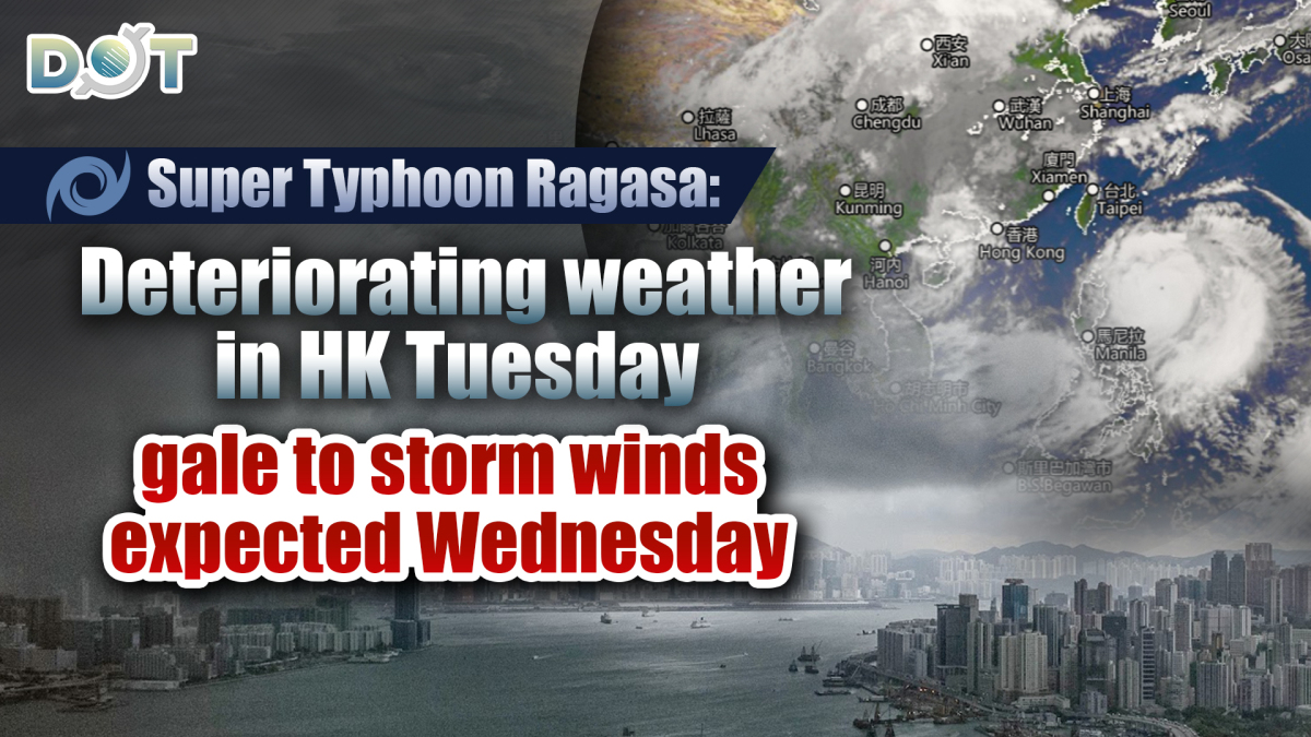
Hong Kong Observatory issued a special weather warning today (Sept. 21) at 11:30 am, indicating that based on current forecasts, Super Typhoon Ragasa will continue to strengthen over the next couple of days, moving across the Luzon Strait and into the northern South China Sea, gradually approaching the Guangdong coast.
The Observatory noted that while the weather in Hong Kong will briefly improve and become hot on Monday, there will still be swells in the sea. Weather conditions will begin to deteriorate later on Tuesday, with strong winds reaching gale force on Wednesday. Offshore and elevated areas may experience hurricane-force winds, with severe weather including heavy rain and thunderstorms, and the sea will have very large waves and swells.
The Observatory stated that due to significant storm surges, coastal water levels may be comparable to those during Typhoon Hato in 2017 and Typhoon Mangkhut in 2018. Citizens are advised to closely monitor the latest weather updates from the Observatory and to prepare for wind and water inundation as soon as possible.
Related News:


Comment