


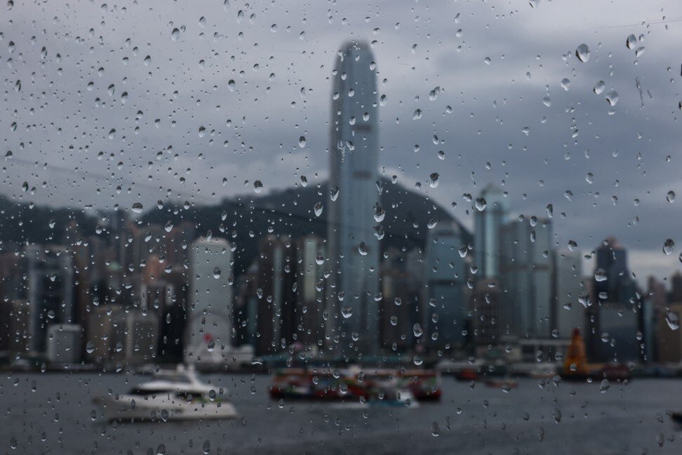
Hong Kong's first No 3 typhoon warning signal of the year was expected to remain in force throughout the day on Tuesday (July 20) as Tropical Storm Cempaka edged closer to the city, according to the Observatory.
Though an upgrade to No 8 remained unlikely, the city's weather service warned that the typhoon's track was uncertain and said it would monitor its movements carefully.
At 7am, Typhoon Cempaka was estimated to be about 210 kilometres west-southwest of Hong Kong and was forecast to slowly move north by northwest, gradually edging closer to the western coast of neighbouring Guangdong province.
"According to the present forecast track, local winds are not expected to change appreciably during the day today," the Hong Kong Observatory said, adding the strong wind signal No. 3 would remain in force for some time during the day.
On Monday evening (July 19), the weather service noted that gales associated with Cempaka were "relatively small in size" and that the "chance of [strong winds] over the territory generally [was] not high".
It added that the rain bands associated with Cempaka would bring occasional heavy showers and squalls to Hong Kong on Monday night (July 19) and Tuesday (July 20).
Classes at kindergartens and at schools for children with physical and intellectual disabilities were suspended on Monday after the No 3 signal took effect.
The Observatory first issued the typhoon standby signal No 1 on Sunday night (July 18).
The No 3 signal warns that strong wind is blowing or expected to blow generally in Hong Kong with gusts that may exceed 110km/h, and the conditions are set to persist.
Separately, Tropical Storm In-fa is forecast to move across the sea east of Taiwan in the next few days and intensify gradually.
The Observatory has issued two other No 1 tropical cyclone warnings this year – on June 12 and July 7.
(Source: SCMP)


Comment